

An American Oddity
A walk along an imaginary line, the 49th parallel, and how it divides a secluded town from the mainland it is part of.
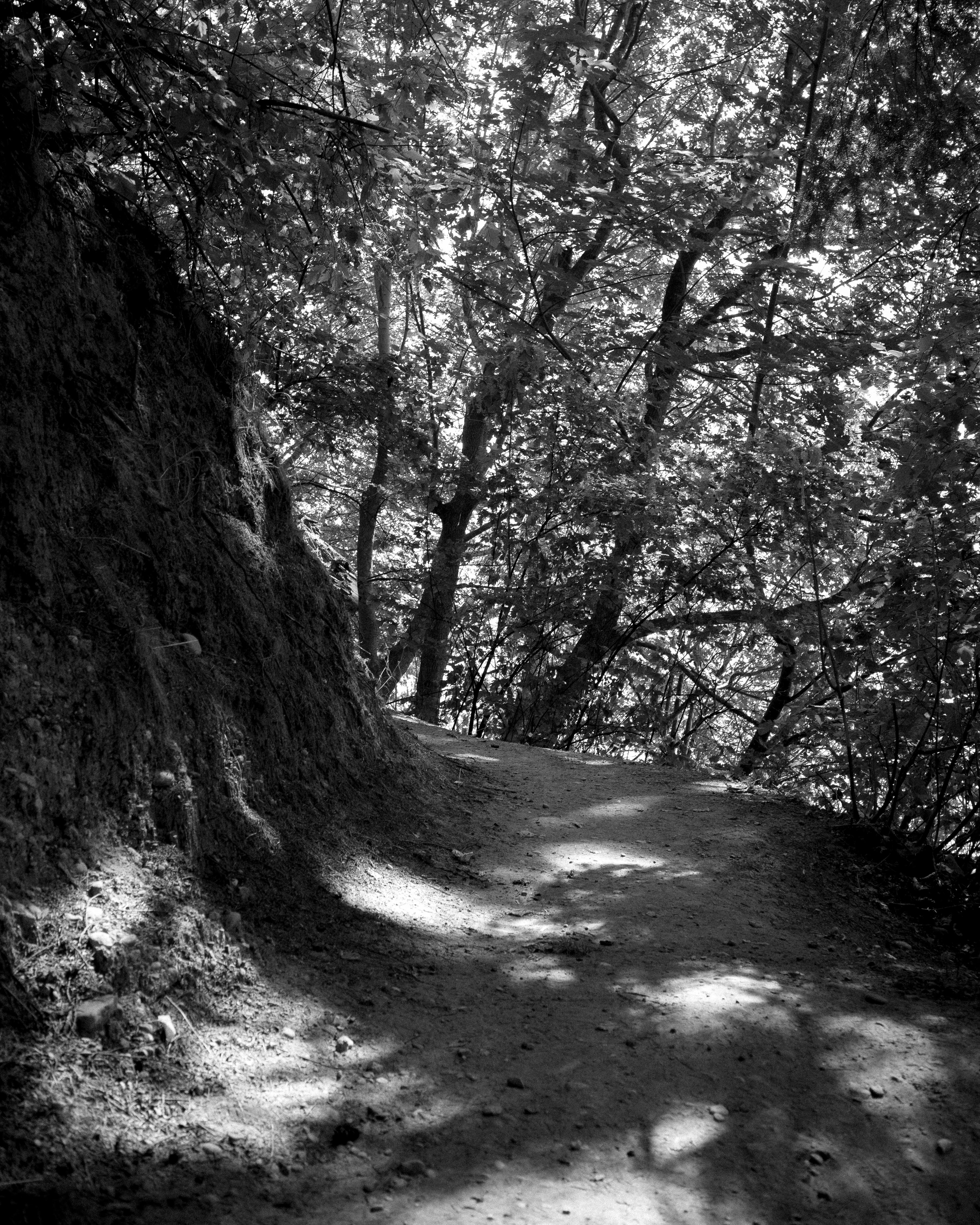
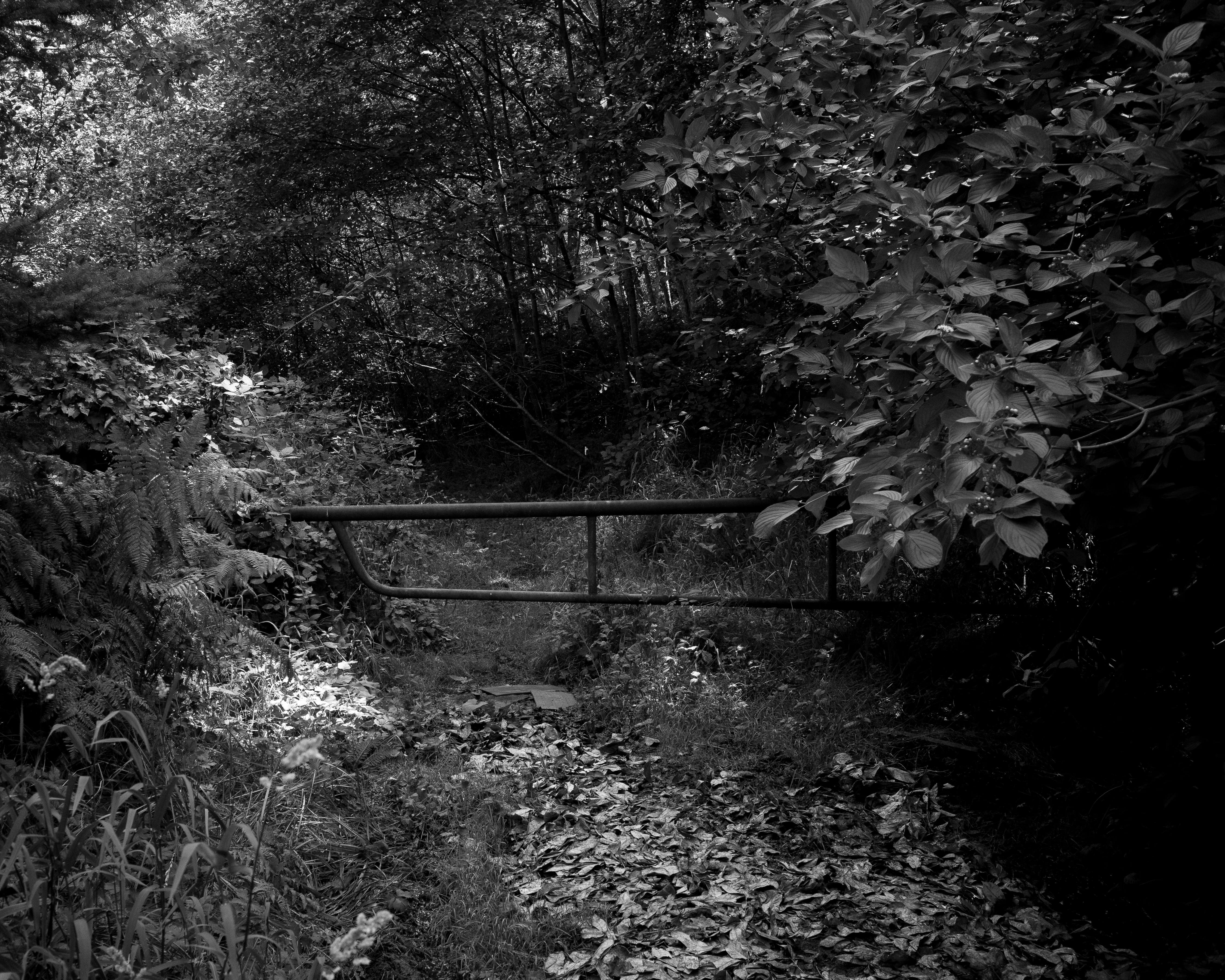
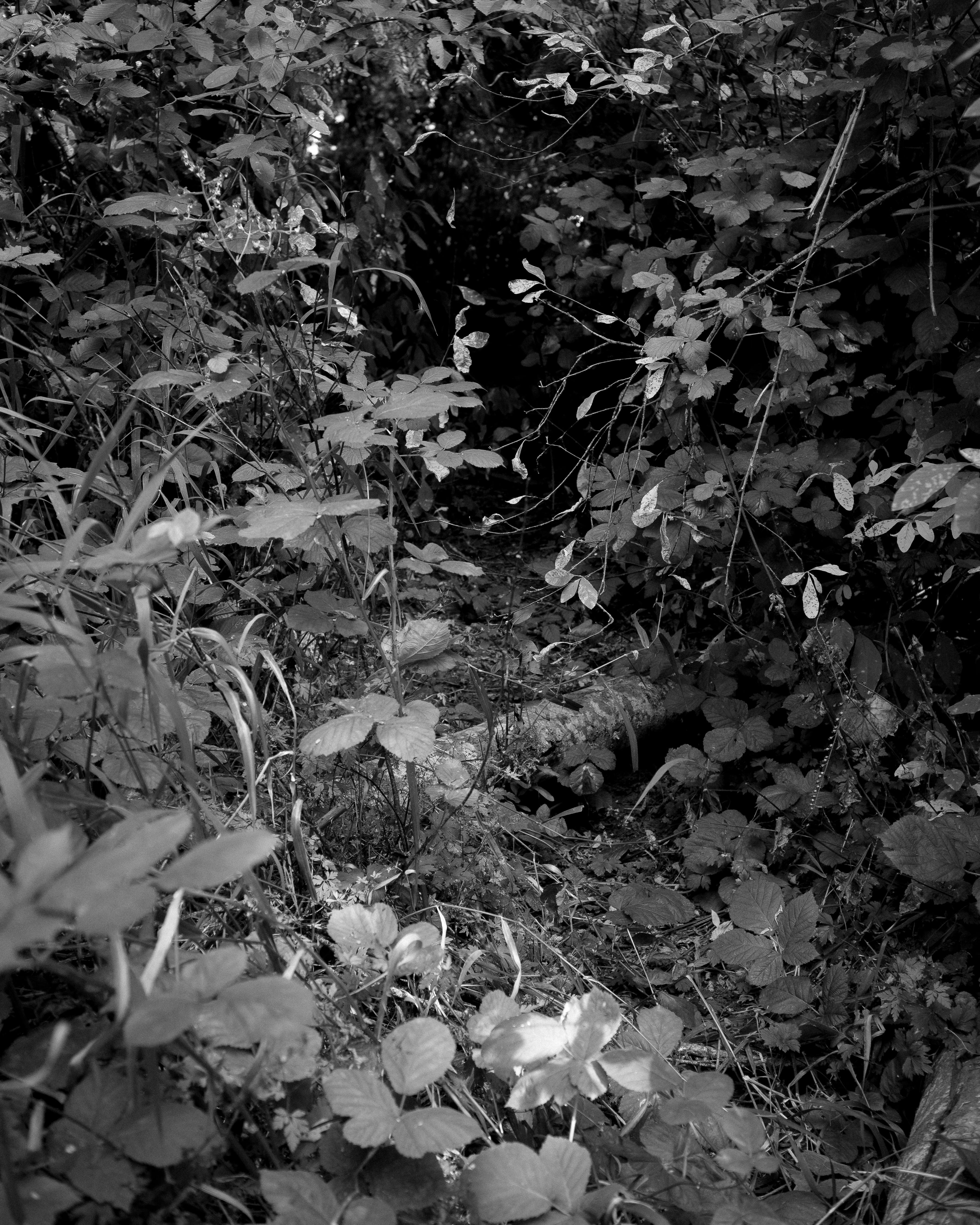
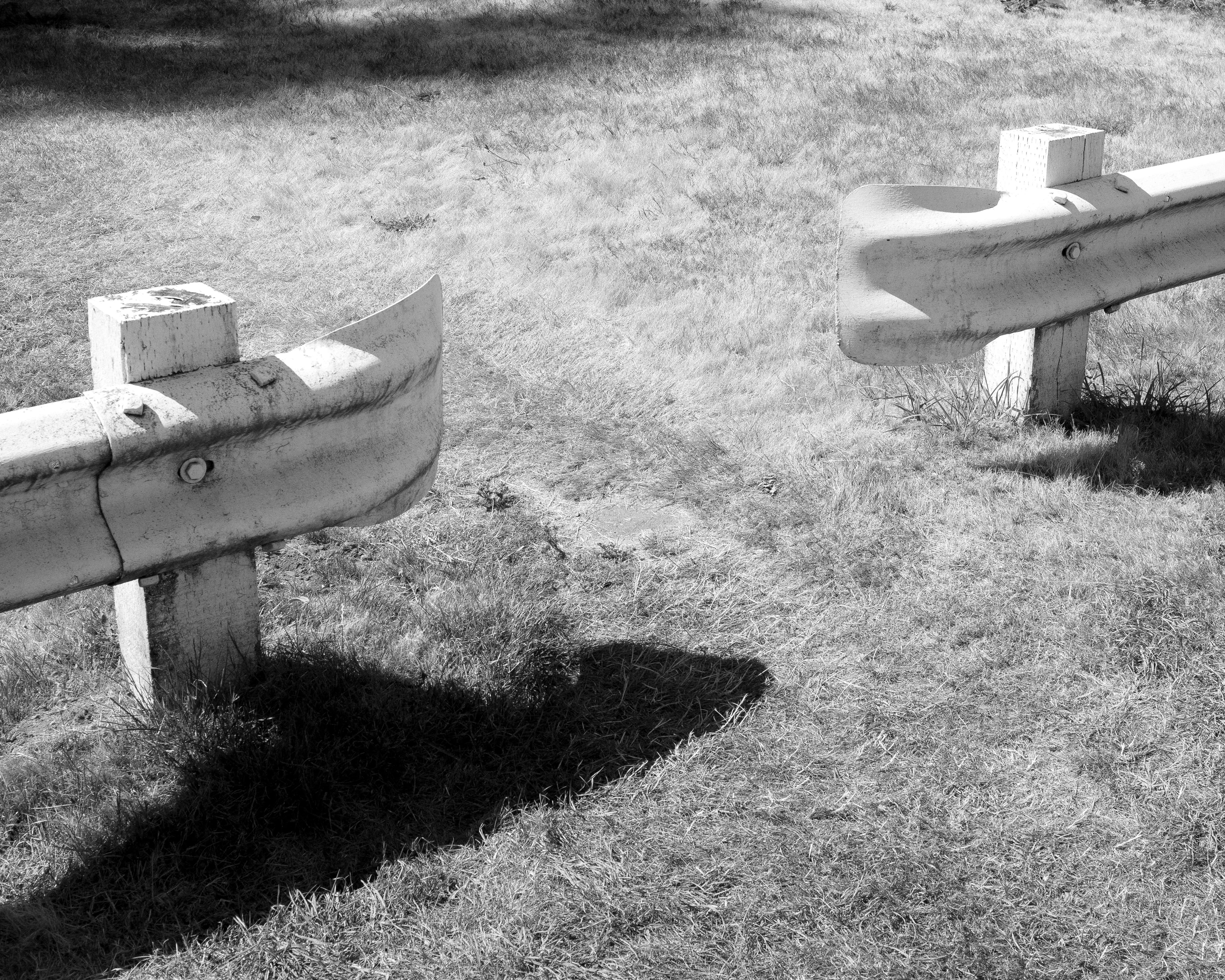
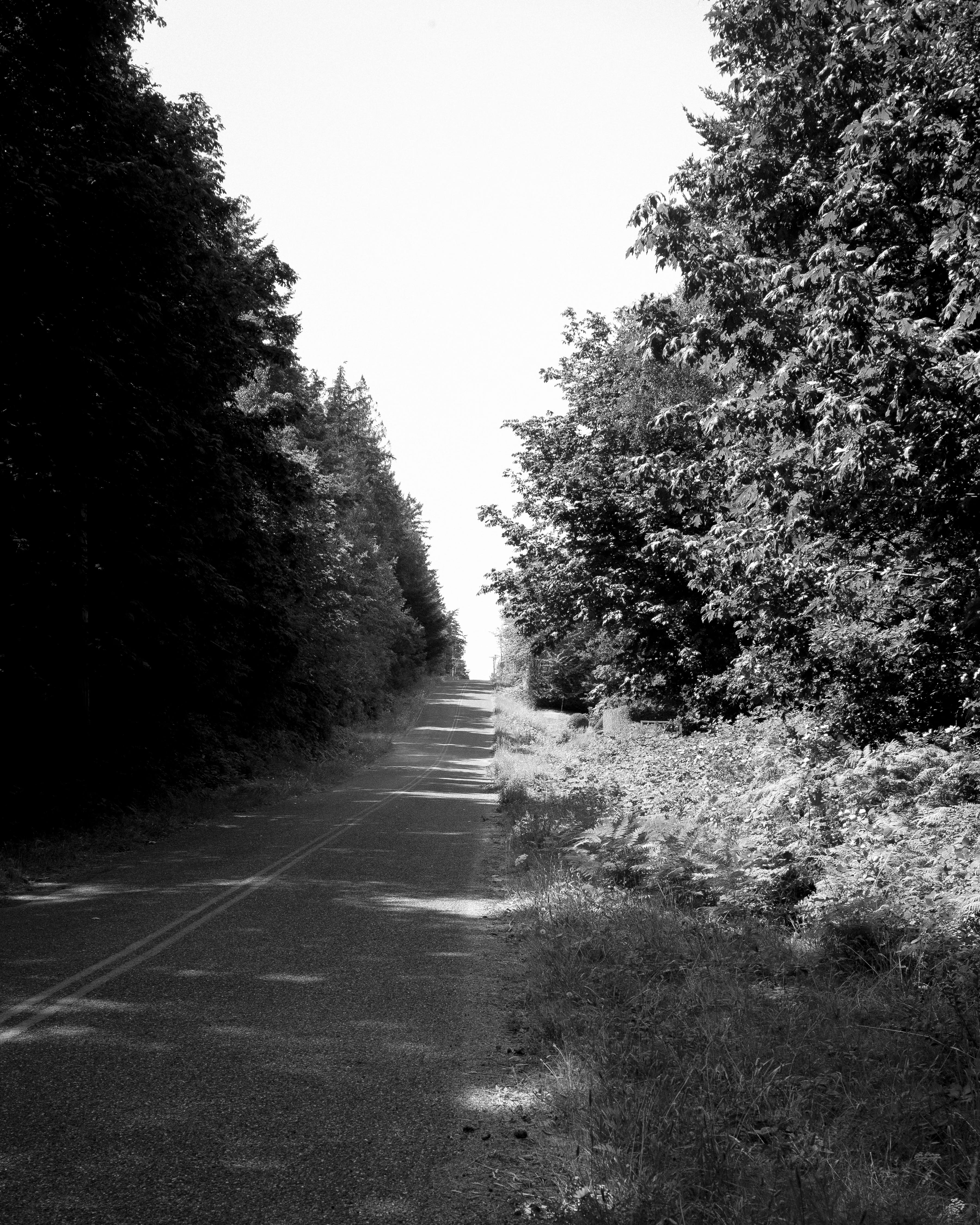
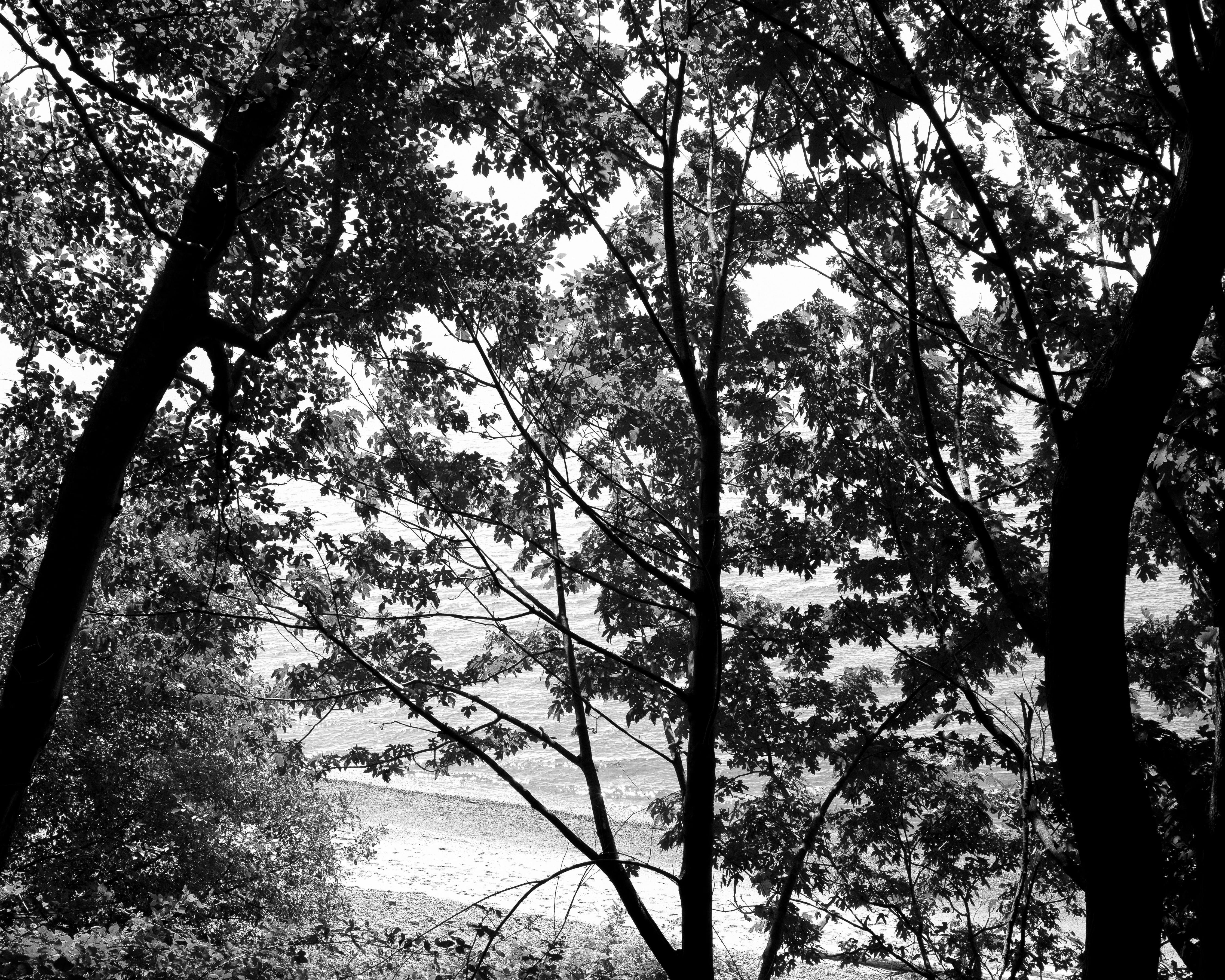
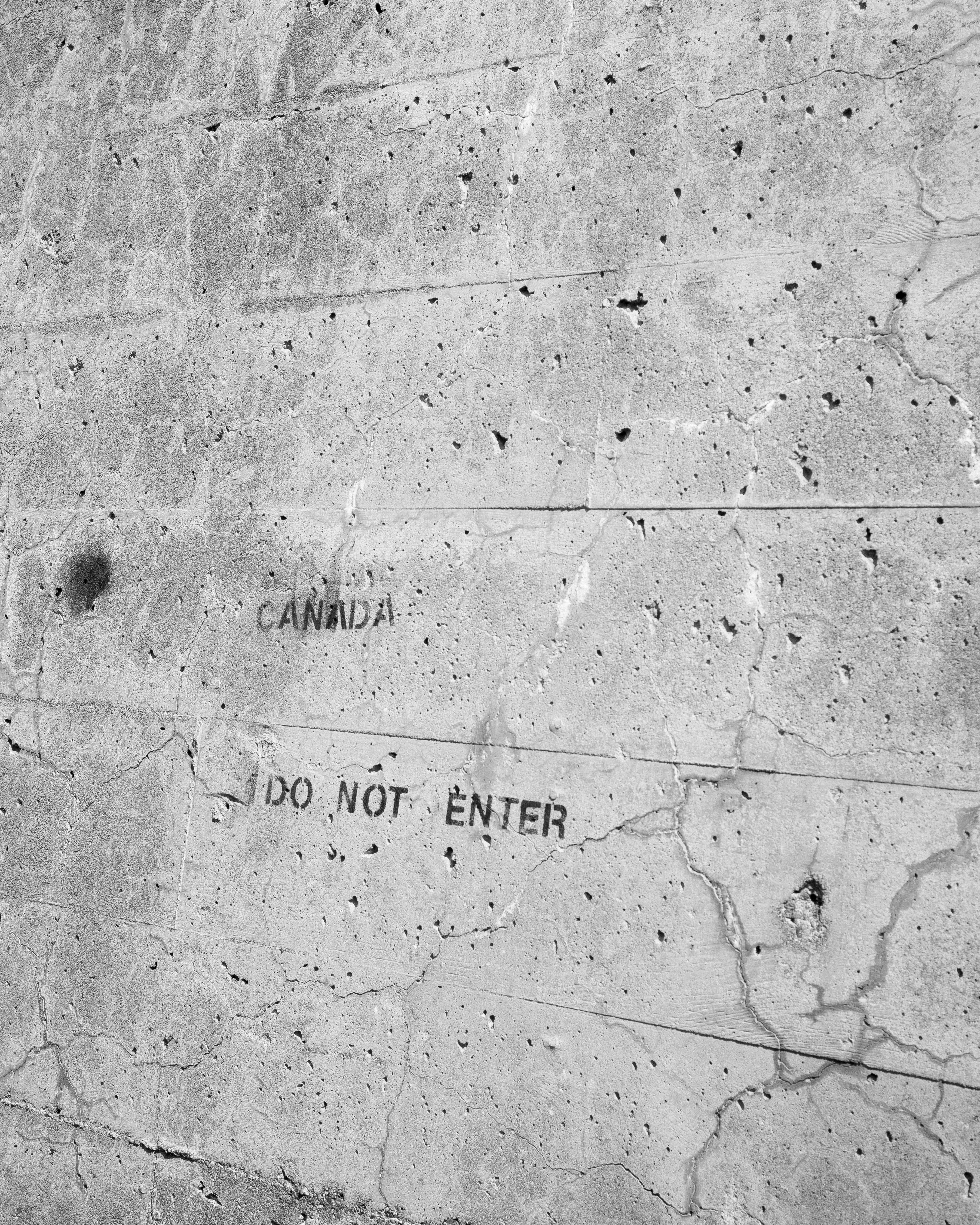
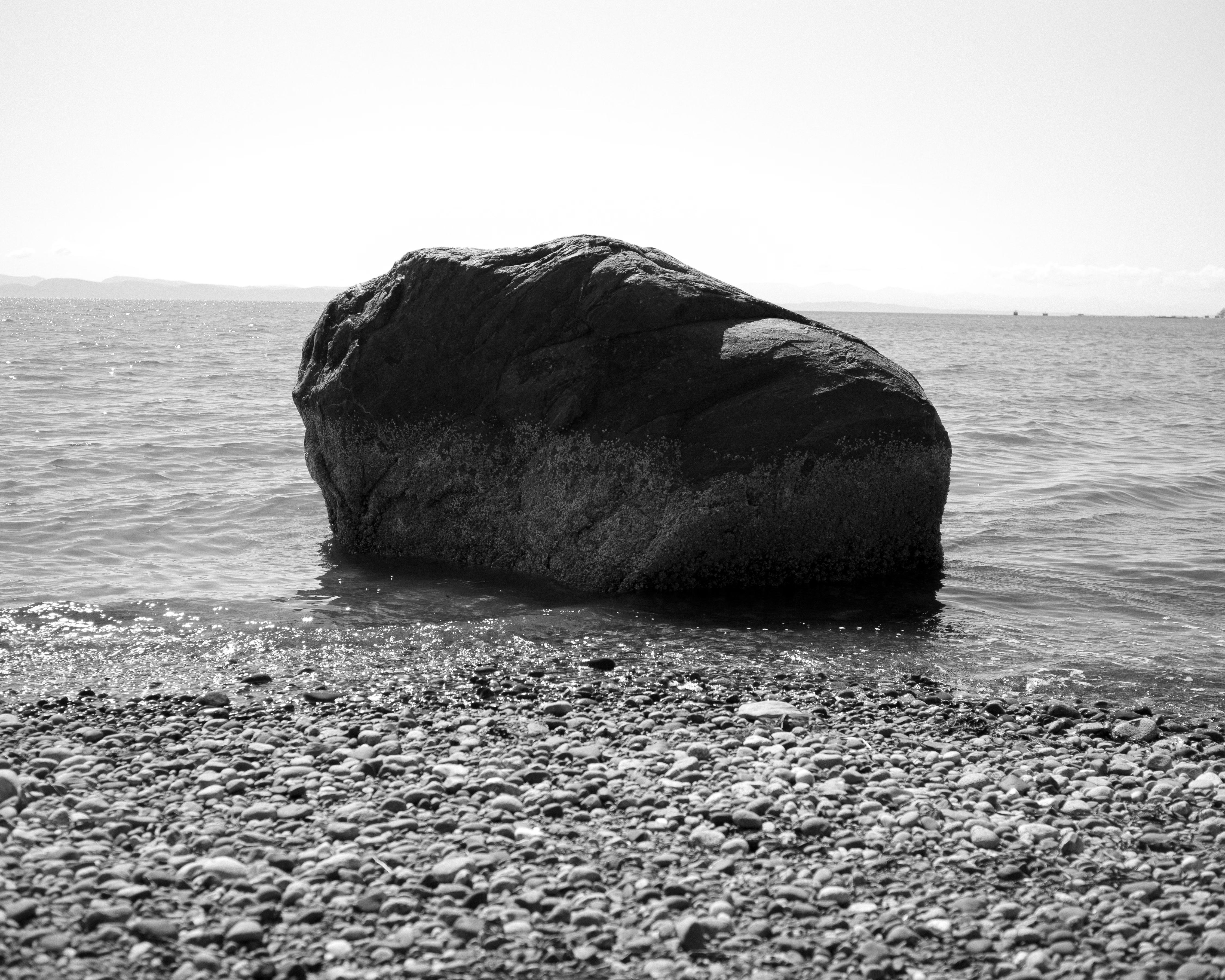
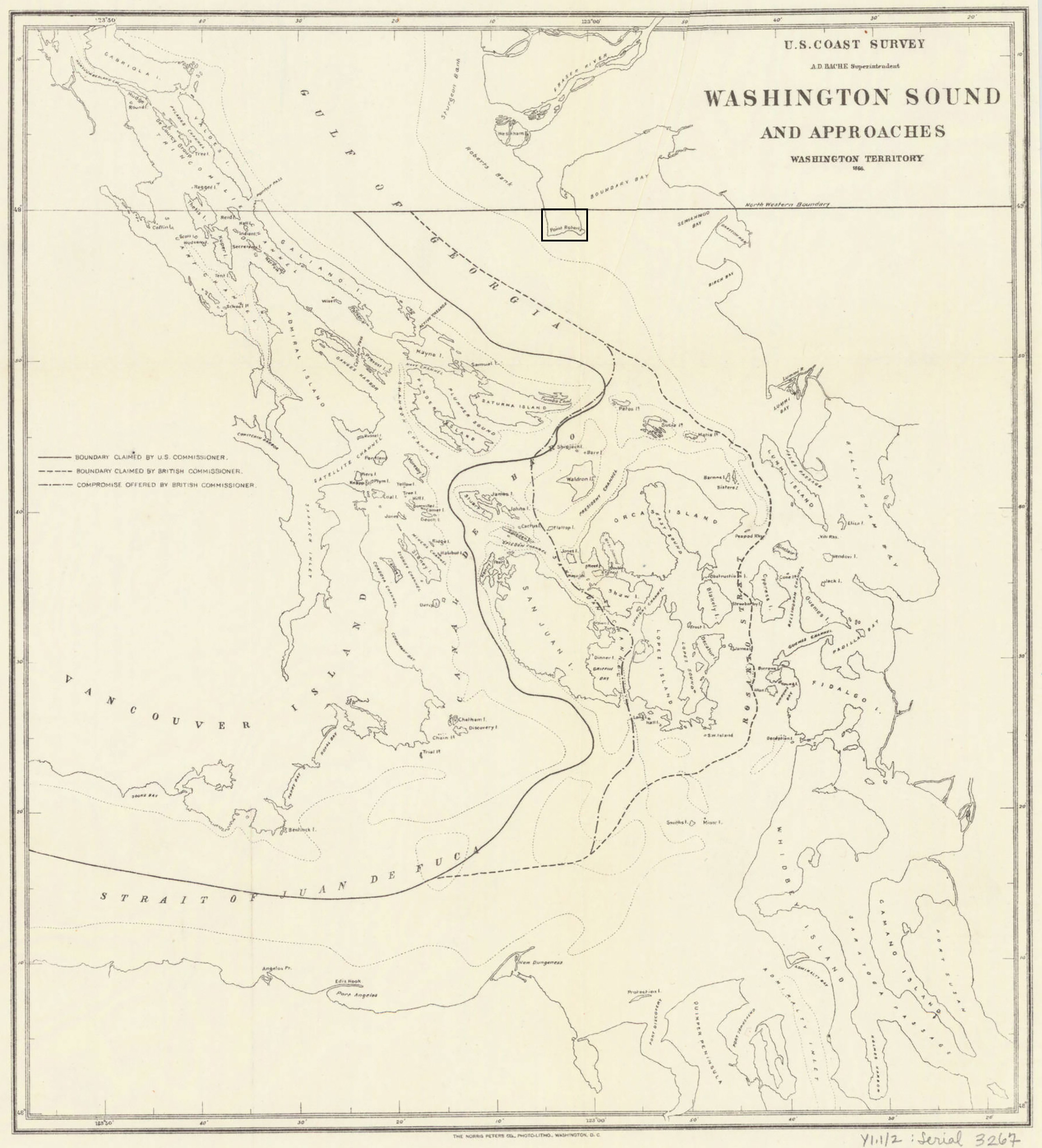
These photographs were taken in Point Roberts, a pene-exclave located in the southern part of Canada's Tsawwassen Peninsula. With this area falling south of the 49th parallel–an imaginary east-west line that also serves as the dividing line for the Canada-US border–it is oddly part of Washington State. While walking along the divide, I couldn't help but think of how some boundaries such as this one are merely lines drawn on a map..

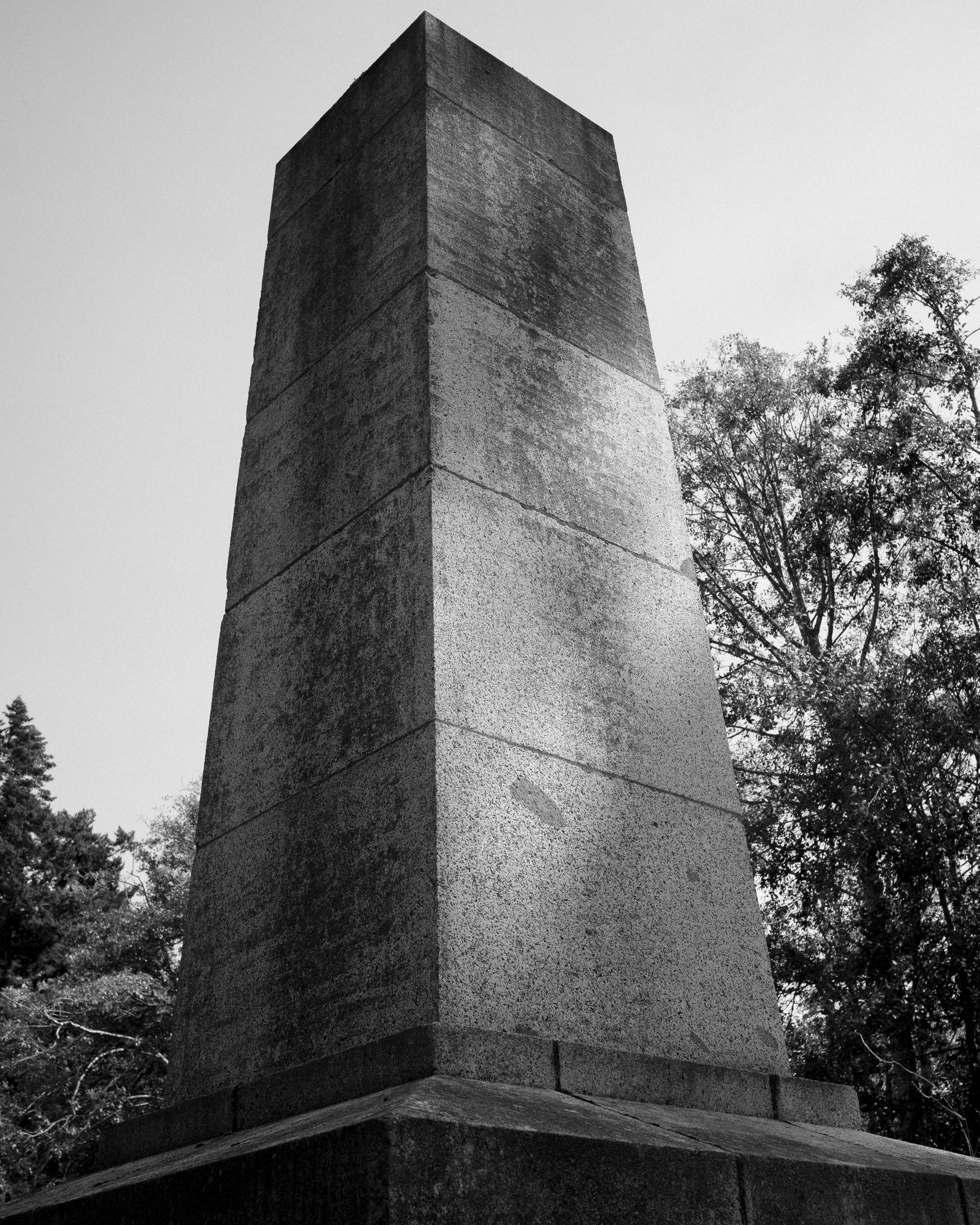
any idea what that big square tower/obelisk is ?
Love the first image in particular!